Save 25% on Mountain Art.
Free shipping on qualifying orders.


How to Read a Ski Snow Forecast
How to Read a Ski Snow Forecast: A Beginner's Guide, Told Through One Powder Day Decision

Thursday night, the group chat lights up: "storm coming this weekend, we going?" Someone posts a screenshot of their weather app. It says 70% chance of snow. Everyone reads that as a green light, books the Airbnb, and sets an alarm for 5 a.m. Saturday.
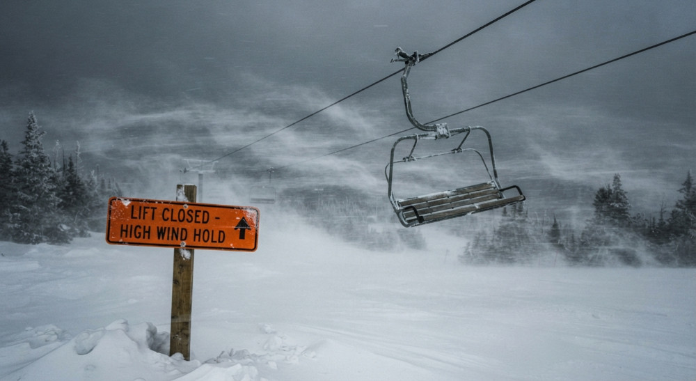
Then Saturday happens. It's 38 degrees at the base, the "snow" turned out to be rain below 7,000 feet, and the lift you wanted is on wind hold. Nobody actually lied to you. You just asked the wrong question of the wrong tool. Here's what checking that forecast should have looked like — and what each number along the way actually meant.
Step One: Close the Regular Weather App
A general weather app is built to answer "will I need an umbrella," not "will I get face shots." Its 70% number is a probability of precipitation for a whole city or valley, usually measured near the base — not at the elevation where you'll actually be skiing, and it says nothing about temperature, wind, or how dense that precipitation will be once it lands. You can get a "70% chance of snow" that's actually 70% chance of cold rain at your parking lot elevation. That's the gap that catches people every single weekend.
The fix is simple: switch to a ski-specific forecast tool — OpenSnow, a resort's own weather page, or a similar mountain-focused source — before you make any calls based on a percentage. These tools are built around one question: what happens at this specific elevation, not the nearest airport.
Step Two: Find the Snow Level, Not Just "Snow"
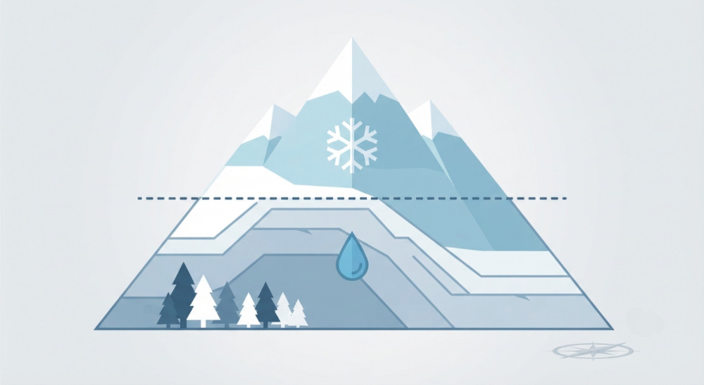
Open the mountain-specific forecast and the first real decision point is the snow level — the elevation above which precipitation falls as snow, and below which it falls as rain. It is not the same thing as the freezing level (the elevation where the air itself hits 32°F); heavy precipitation can drag the actual snow line a thousand feet or more below the freezing level, because falling snow cools the air around it as it descends.
This is the number that would have saved Saturday's trip. If the base sits at 6,800 feet and the forecast snow level is 7,500 feet climbing to 8,500 feet by afternoon, you already know the base is getting rain, not powder, and only the upper mountain is in play — before you've even left the house.
Step Three: Translate Inches Into "Will This Actually Be Good"
Say the forecast for the upper mountain reads: 8–14 inches, snow ratio 14:1. The inches are obvious. The ratio is the part beginners skip past, and it's the difference between a legendary day and a heavy, tiring one.
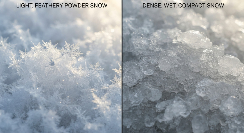
Snow-to-liquid ratio measures how much air is packed into the snowflakes. A 10:1 ratio is dense, wet, "Sierra cement" — fun, but heavy on the legs. A 15:1 ratio starts producing real face shots. A 20:1 ratio is the stuff people write trip reports about — so light it barely resists your skis. The ratio is mostly driven by temperature: the lightest snow tends to fall when temperatures in the storm cloud sit roughly between 0°F and 10°F, a range meteorologists call the dendritic growth zone, where snowflakes grow into big, feathery crystals instead of dense little pellets. Same number of inches, completely different day, depending on this one figure.
If you want the raw data behind the forecast number instead of trusting someone else's summary, that's what snow water equivalent (SWE) is for — it measures the actual liquid content of the snowpack, independent of settling or wind. A storm that adds 0.6 inches of SWE at a 15:1 ratio is a 9-inch day. It's a more stable number than a snow-depth stake, which can get blown around or compacted before you check it.
Step Four: Check Wind Before You Check Anything Else
The best snow ratio in the world doesn't matter if the lift to it isn't spinning. Sustained wind isn't usually the problem — gusts are. Once gusts push past roughly 30 mph, visibility drops, snow gets scoured off exposed ridgelines and dumped into gullies, and upper-mountain lifts start going on hold. A forecast showing 10 inches and 45 mph gusts is a very different day than 10 inches and 10 mph gusts, even though the snow total looks identical on the surface.
Step Five: Read the Resort's Own Snow Report Like a Skeptic, Not a Fan
By Saturday morning, the storm has come through, and the resort's own snow report says "12 inches new." This is the number people build entire days around, and it's worth knowing it isn't always neutral. A widely cited economics study comparing resort-reported snowfall against nearby government weather stations found that resorts have historically reported meaningfully more new snow on weekends than on weekdays — not universally, and not every resort, but often enough that the pattern held up statistically. A separate, more recent analysis found a similar weekend bump concentrated at a minority of resorts, most often the ones running money-back powder guarantees.
None of that means resort reports are useless — most days, most resorts, the number is accurate. It means a resort's own number is one input, not the final word. Cross-checking it against the independent mountain forecast you already read, a nearby government snow-telemetry station if one exists, or even a same-morning photo from someone already on the hill turns "12 inches, allegedly" into a number you can actually trust.
The Call
Snow level: dropped to valley floor overnight, so the whole mountain is in play. Ratio: 15:1 on the upper elevations — light, not cement. Wind: gusts topping out around 20 mph, below the threshold that shuts lifts down. Resort report and the independent forecast broadly agree. That's not a "maybe." That's a 5 a.m. alarm with confidence behind it, instead of a guess based on a single percentage from an app that was never built to answer the question.
Quick Reference: What Each Term Actually Tells You
- Snow level — the elevation line between rain and snow; check this before anything else.
- Freezing level — where the air itself is 32°F; related to snow level, but not identical.
- Snow-to-liquid ratio — how light or heavy the new snow will feel; higher number, lighter snow.
- SWE (snow water equivalent) — the actual liquid content of the snowpack; the most stable number behind any snowfall forecast.
- Wind gusts — the number that determines whether the good snow is actually reachable.
Resort snow report — usually accurate, occasionally optimistic; treat it as one data point, not the verdict.